British Columbia’s coastline is a remarkable study in geography, with islands, inlets, channels, and passages shaping the Pacific landscape.
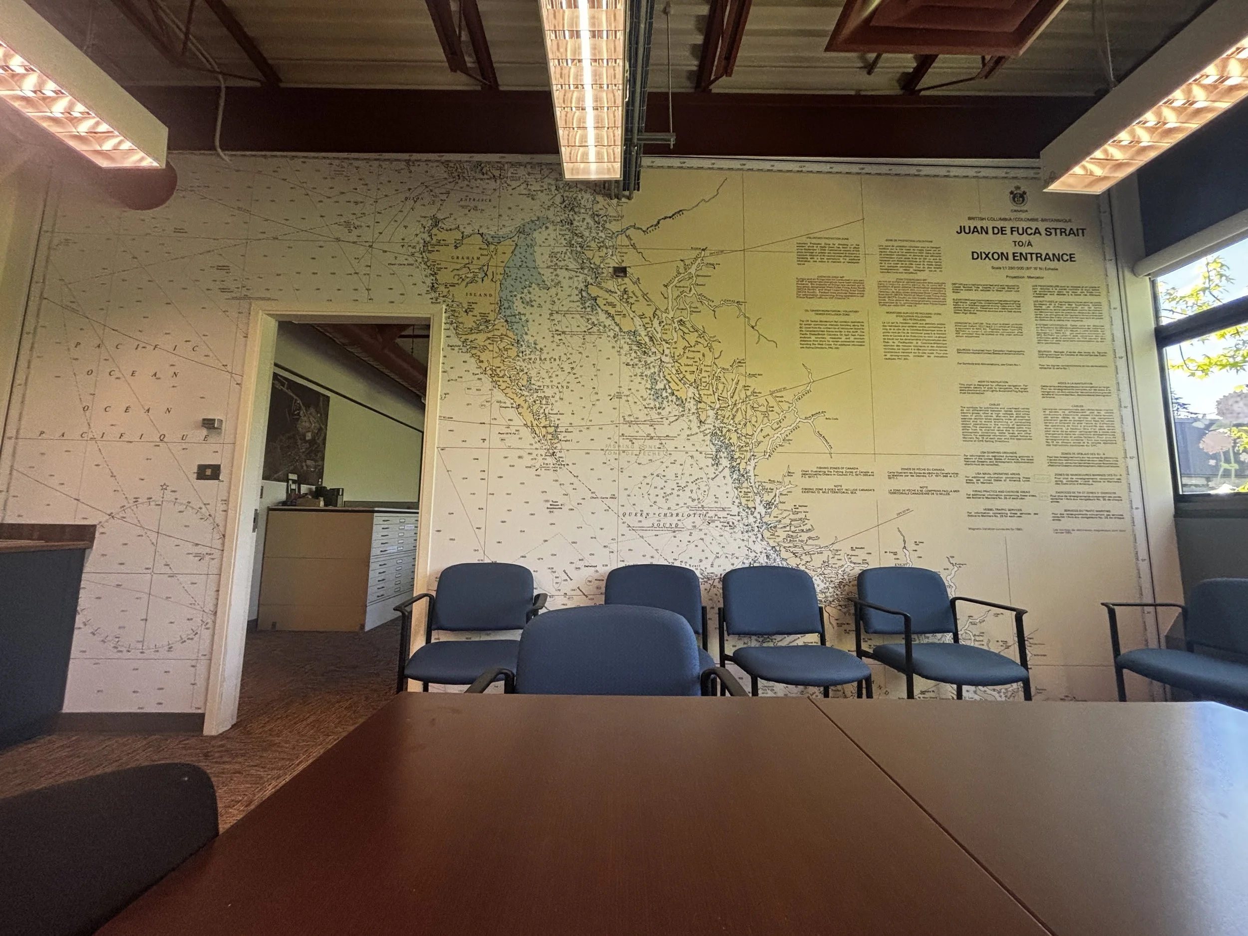
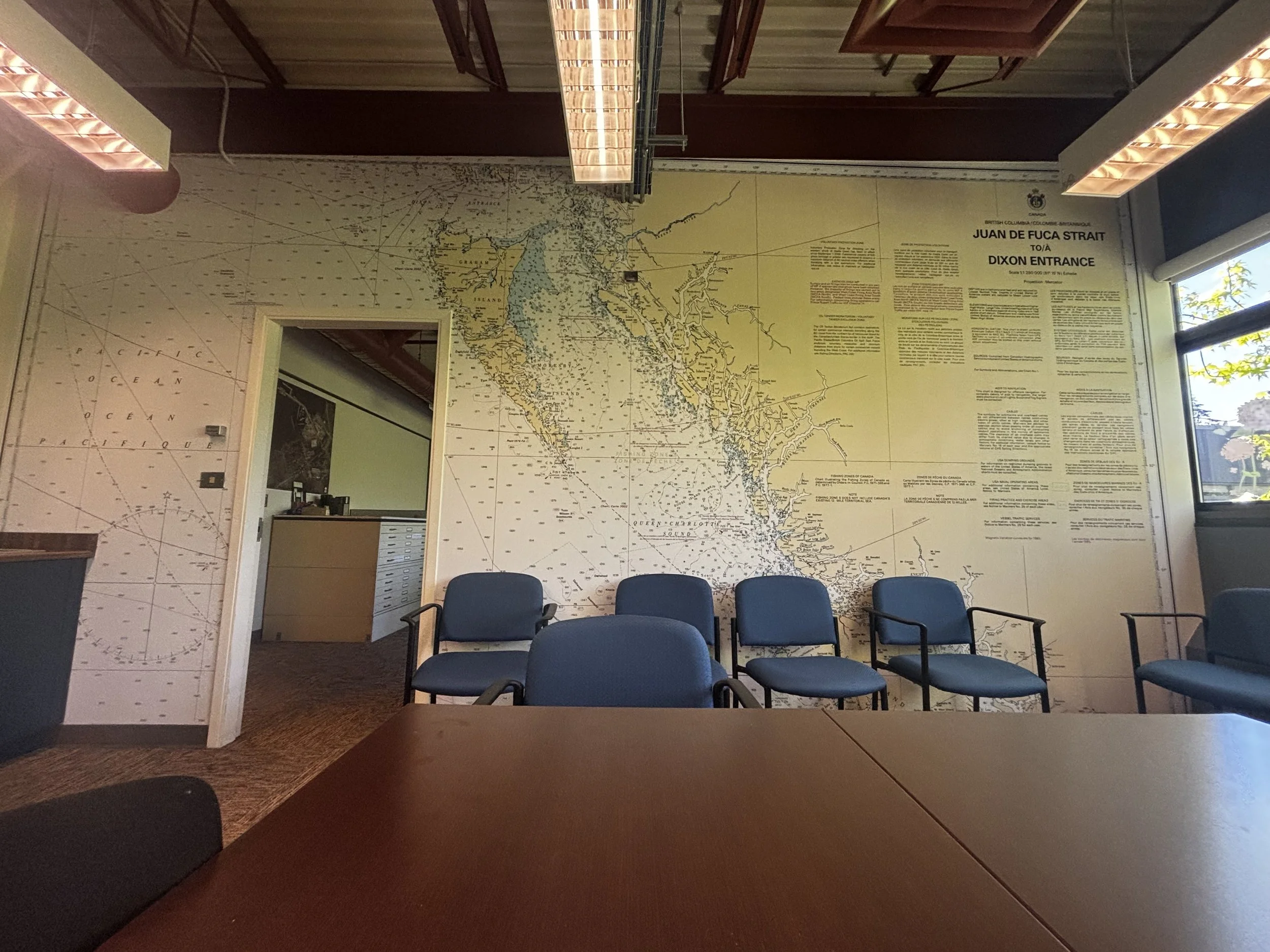
At the Canadian Hydrographic Service’s Pacific Region office on Vancouver Island, that extraordinary setting is captured in a custom wall-sized nautical chart mural. Chart 3000 spans the coast from Juan de Fuca Strait north to Dixon Entrance, bringing the waters central to the region’s work directly into the space.
Enlarged at this scale, islands and shorelines create shape and movement across the wall, while depth soundings, navigational marks, and place names draw the eye into the finer details.
Carefully scaled to the room, the original cartography preserves the character and geographic integrity of the chart while allowing the British Columbia coast itself to take center stage.
The Canadian Hydrographic Service has charted Canadian waters since 1883. Its nautical charts document the country’s coasts, lakes, rivers, harbors, and passages with a precision that makes them as visually compelling as they are functional.